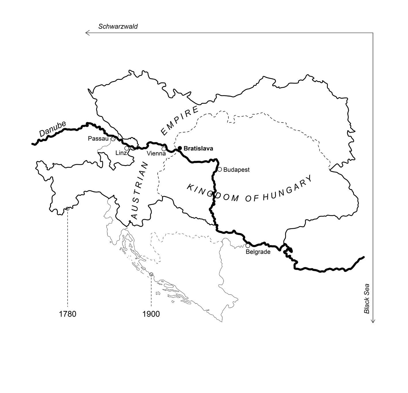
The current pattern of the Danube is a result of natural changes as well as human activity. Different riverine transformations affected the urban structure of Bratislava throughout history. The paper deals with the period of regulations between the years 1772 and 1896. In order to analyze the river as a natural and cultural phenomenon, a hybrid method was used. Selected aspects of historiographic research were interpreted on the basis of historical maps in the form of mapping. The method shows that local interventions were mainly part of the greater vision of the navigable waterway in Austria-Hungary.
DOI: https://doi.org/10.31577/archandurb.2021.55.1-2.9

This work is licensed under a Creative Commons Attribution 4.0 International License